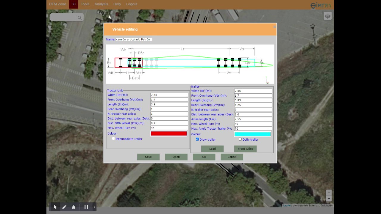
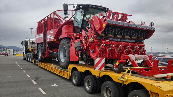
The operation of the application is highly intuitive, the vehicle configuration to be used has been simplified in the corresponding dialogue box. The inclusion of the "load" is done either by the input of points, referenced to the fifth wheel, as well as with the incorporation of a DXF file in which the element to be transported has been designed. Templates of different vehicle types can be downloaded, making it easy to customise the definition for each user.
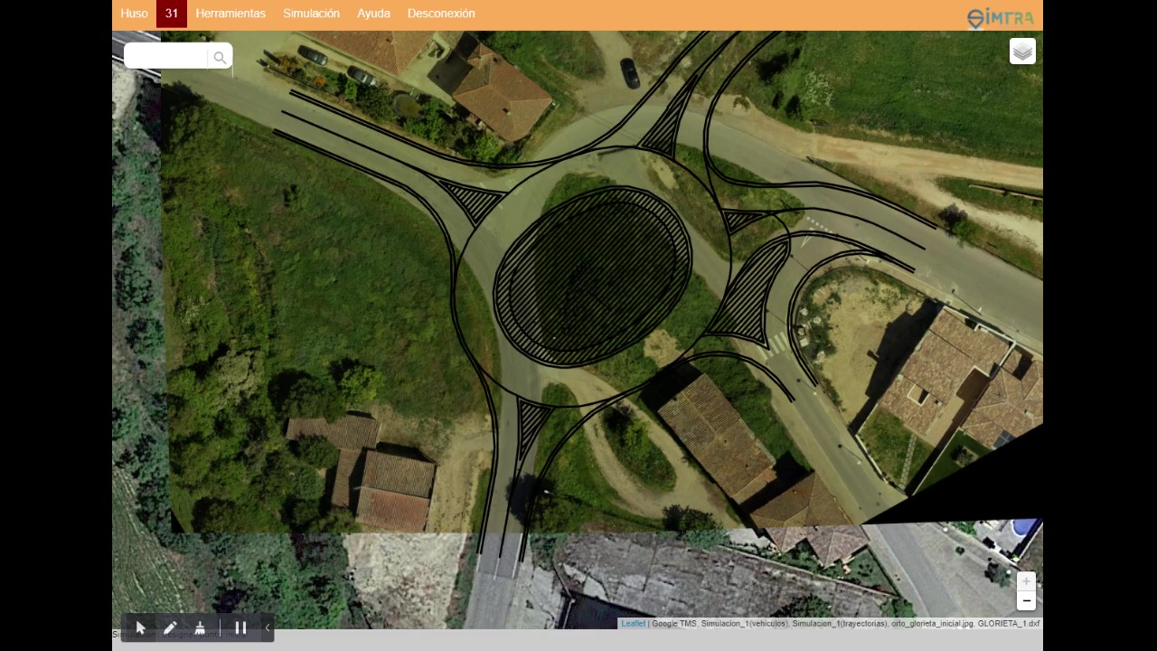
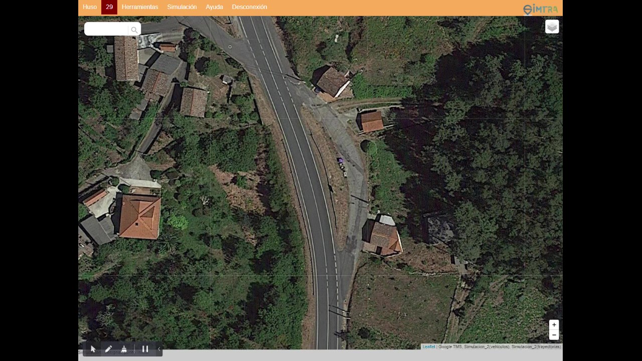
Once the vehicle geometry and load have been defined, the location where the simulation is to be carried out is selected. The search control and the incorporated map layers (open street map, and map of the National Geographic Institute in Spain) facilitate this step.
After locating the area where the simulation is to be carried out, the appropriate orthophoto layer is selected. The application allows you to select between Google, Esri, Mapbox and PNOA imagery in Spain. Additional layers can be added using the "Add map" option in the "Tools" menu.
The images of the base layers can be completed or updated, with the "insert image" options (to add a raster image in JPG format, georeferenced in UTM coordinates); or with the "Import DXF / KML" option, which allows the addition of vector layers in these formats.
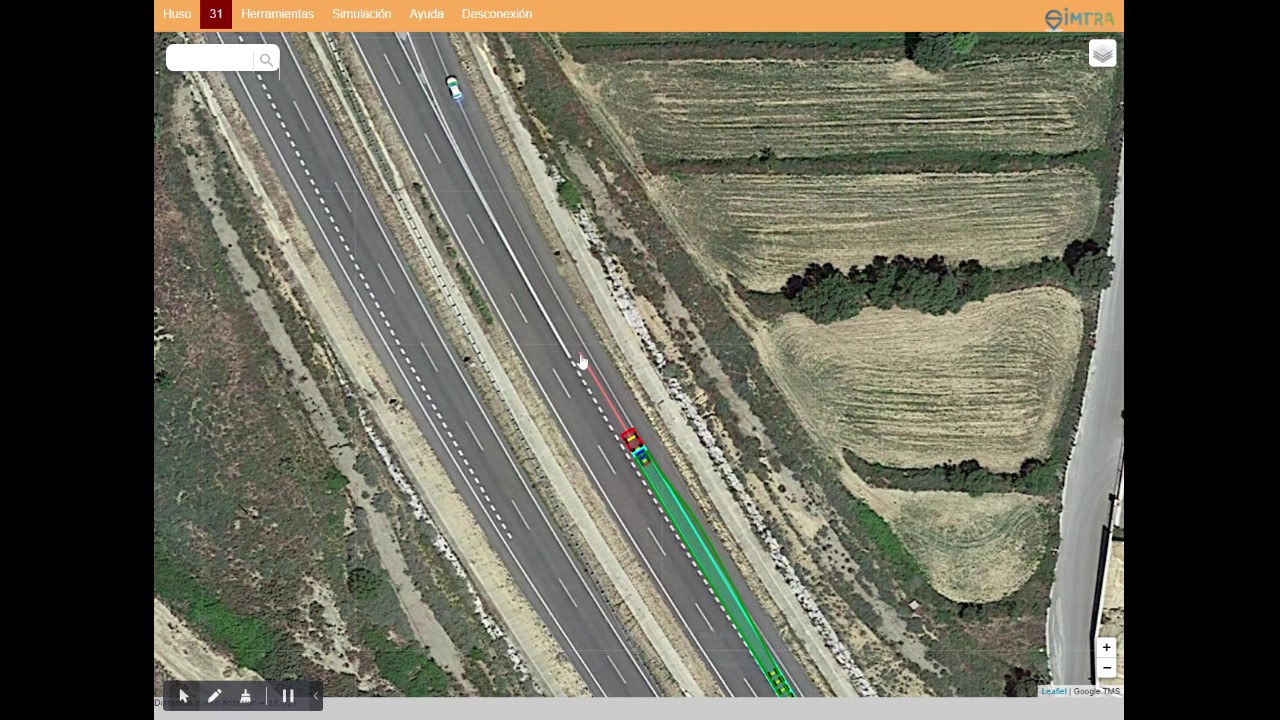
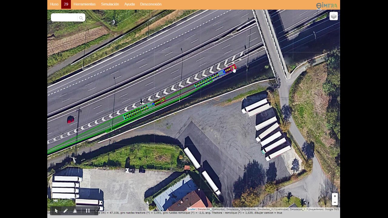
The position of the vehicle and its progress is done by mouse, touchpad or touchscreen, and keyboard. In simulations requiring relatively short jumps, the vehicle drawing can be deactivated, in order to facilitate the clarity of the simulation result.
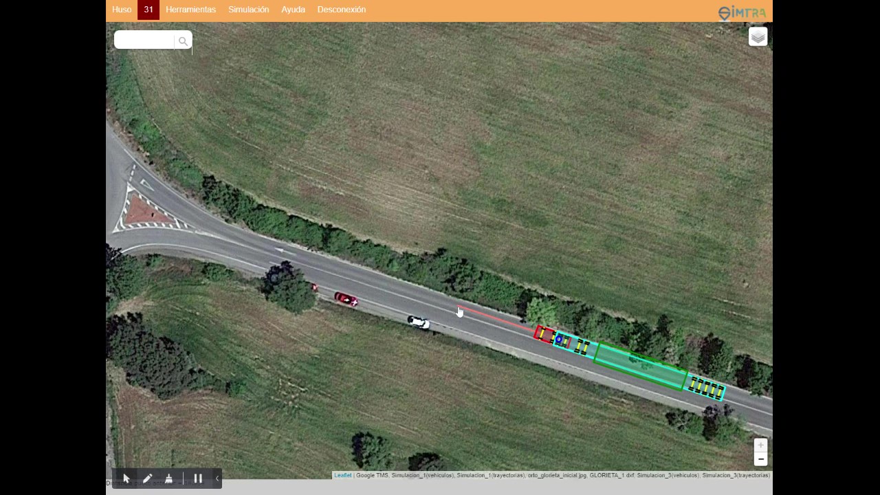
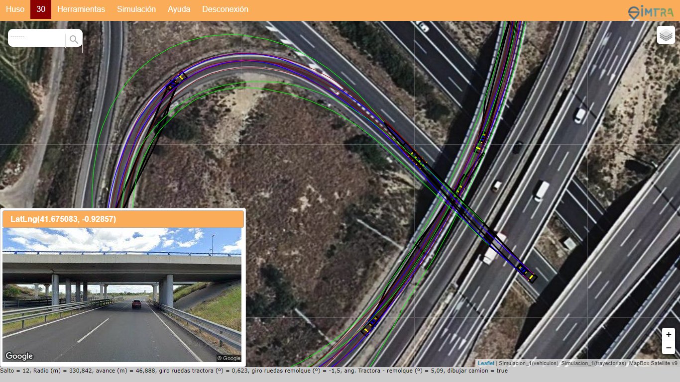
Once the simulation is finished, two layers are added, the first one containing the drawing of the trucks, and the second one containing the trajectories, their visibility is controlled by the layer control of the application.
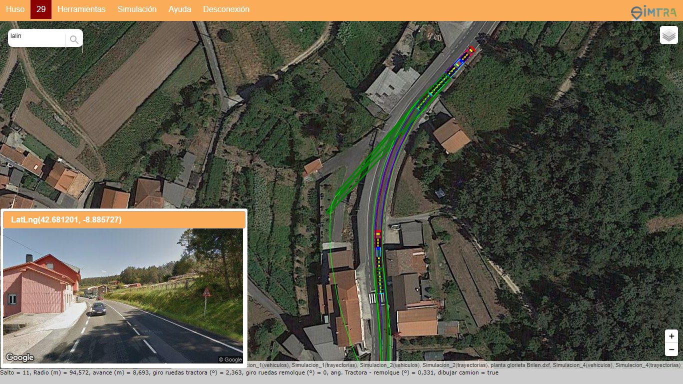
The simulations can be trimmed by specifying the last truck position to be retained, and the jumps after this are eliminated. It is also possible to continue a simulation, from any position on the vehicle, designated with the mouse.
It is possible to export the simulations in DXF and KML formats for use in GIS and Cad applications for the production of plans. Simulations can also be saved for reuse in later sessions.
A number of additional tools have also been enabled, such as length measurement (using polylines), calculation of coordinates or radii in curves, drawing of polygons, circles... It is also possible to download the image displayed on the screen, in JPG format, with a JGW georeference file.
For more details on how the application works, you can consult the online help, or contact us, we will be happy to help you.